17.09.2021
Model of data analysis on forest land of Lika-Senj County as an example
On 17th September 2021, a workshop for project partners was held in the organization of Croatian Forests on Analysis of spatial data on forests and forest land in Lika-Senj County according to land use categories (LU).
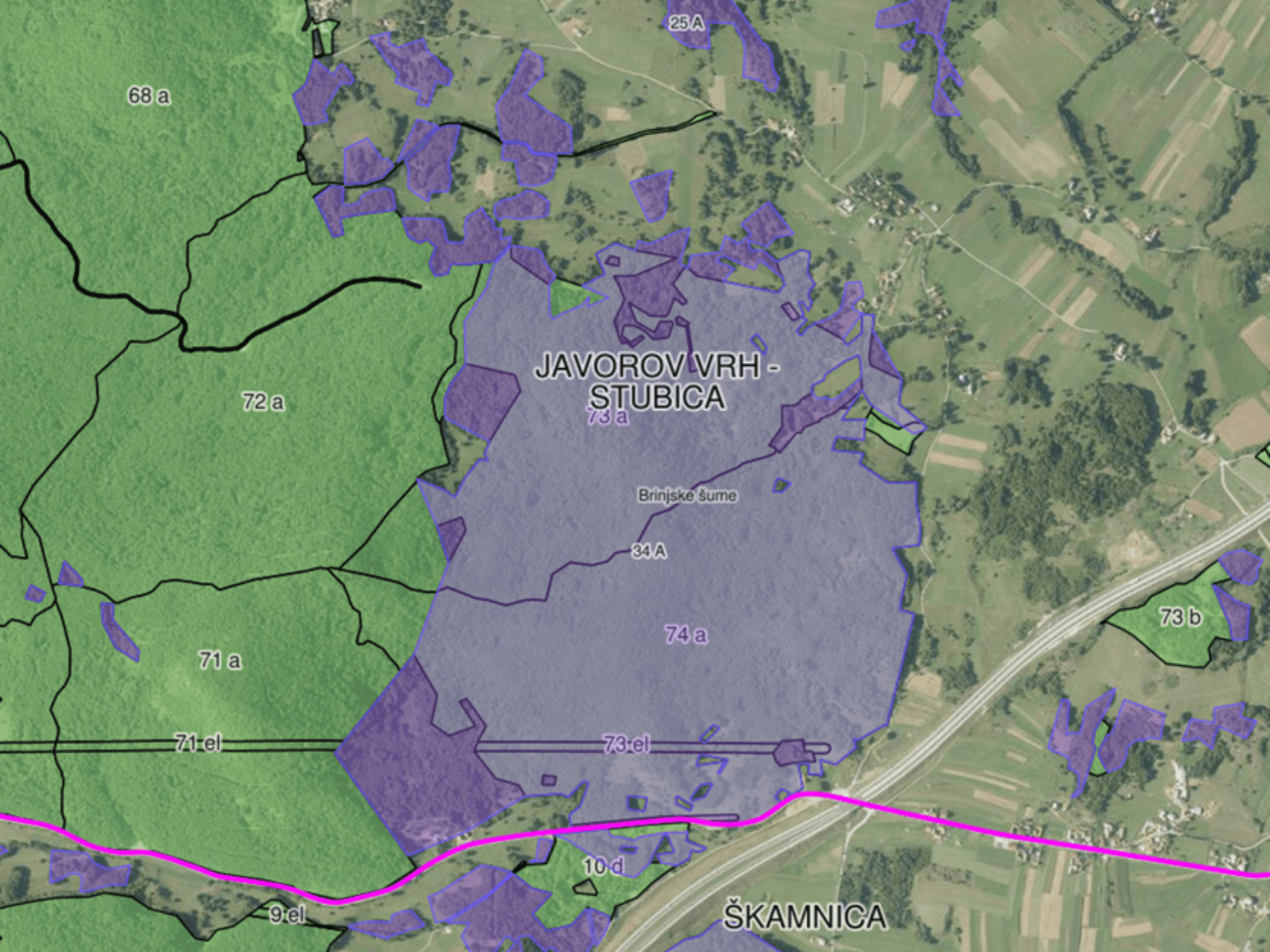
At the workshop, experts from Croatian Forests, Mr. Goran Kovač, senior expert associate for forest management, Mr. Vladimir Grgesina, expert associate for data preparation for the geographic information system of Croatian Forests and Mr. Davor Šelendić, independent expert associate for data preparation for the geographic information system of Croatian Forests, presented their views on the interpretation of spatial data on forest land in Lika-Senj County using vector data prepared for the preparation of Forest Management Plans. As they pointed out in the presentation, the basic spatial unit should be considered a polygon that represents a forest stand or some other non-vegetated area that is in the Forest Management Basis, the plan on the basis of which forests and forest land are managed in the Republic of Croatia. In Lika-Senj county, 19,202 ha of polygons with an average area of 18.1 ha were cultivated, that is, a total area of 347,837 ha was cultivated.
Based on the data determined by terrestrial surveys and assessments and in accordance with the guidelines and land definitions of the Intergovernmental Panel on Climate Change, the following categories of land use (LU) were recognized: forests, covering 292,238 ha, grasslands covering 37,844 ha, infrastructure covering an area of 2,500 ha, and other land covering 5,300 ha. Subcategories (stratums) of land and land categorization according to height classes for overgrown land are also presented.
With this online workshop, an effort was made to present to the partners – the Agency for Payments in Agriculture, Fisheries and Rural Development (APPRRR) and Ekonerg d.o.o., a spatial data interpretation model form the point of view of Croatian forests, all in order to improve existing knowledge by comparing it with the results of partner models. This will be particularly important in the implementation of the project activity C2 Sample-based Historical Land Cover (LC) and Land Use (LU) Data System and C3 Mapping of Land Cover (LC) and Land Use (LU) Categories.
Share this news: