
Introducing LIFE CROLIS Advisory Board Members
We are happy to introduce the members of Advisory board of LIFE CROLIS project. They are well known and experienced scholars who have research interest in land cover, land use, remote sensing and related fields.
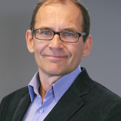
Gebhard Banko is a renowned expert in the field of land monitoring who obtained his Master’s degree in forestry at the University of Agricultural Sciences in 1996. Since then, he has developed his scientific and professional career as an assistant at the Institute for Research, Remote Sensing and Land Information at the University of Agricultural Sciences in Vienna. Gebhard Banko was also awarded the Mikhalevich Scholarship of the International Institute for Advanced Systems Analysis.
Mr. Banko, in a few short sentences, please introduce us with your professional career.
From 2002 to 2018, I was the deputy head, and during 2019, the acting head of the Department for Biodiversity and Nature Conservation, as well as the project leader of the Austrian update of the CORINE – land cover database project at the Austrian Environment Agency as well as the National Reference Center for Land Cover and spatial analysis in the EiONET network in the European Economic Area. I am also in charge of coordinating the participation of the Austrian Environment Agency in projects related to earth observation within the Copernicus framework and of coordinating the user federation in the land information system Austria (LISA). I coordinated the work of the European Environment Agency in mapping ecosystems and high nature value farmland. In addition, in 2018 I participated as a delegate at COP 14 of the UN Convention on Biological Diversity, and in 2020 I was appointed as the leader of the remote sensing team within the Austrian Environment Agency.
What were the key reasons for you to accept the role of a member of the LIFE CROLIS Advisory Board?
As land monitoring expert, I have a broad overview of national, European and international challenges when describing land cover and land use using remote sensing data. My long-term affiliation in the work of the EEA/EAGLE group has solidated my knowledge on the semantic structuring of land cover and land use information. This led to the development of a national land monitoring system in Austria, starting already in 2004 with a specific project on soil sealing and followed by national projects integrating Copernicus data (LISA). At the same time, my involvement as NRC Land cover has led to a further development of the EAGLE data model, having in mind the ISO-LCML international standard as well. Due to the future development of CORINE Land cover I was mainly offered to define the future specifications of CLC + backbone (vector and raster) that should serve as primary input for the instances that EEA wants to develop for the main policy areas (climate, biodiversity and agriculture). As the LULUCF instance turned out to be the major focus of CLC + backbone, we have developed simplified versions of LULUCF derived from Copernicus mainly HRL layers within the European Topic Centre of Digital Information (lead by Austrian Federal Environment Agency). In parallel my involvement in studies on organic soils in Austria in the frame of LULUCF has broaded my expertise and raised my interest for a closer cooperation between land cover, land use and the LULUCF sector. Just recently I could finalize the cooperative work with all major Austrian stakeholders (spatial planning) on a new system to monitor land take and soil sealing for the Austrian soil strategy and the upcoming EU soil monitoring law.
Podjeli ovu novost koristeći: