
LIFE CROLIS presented at 1st Professional Conference on Spatial Planning Information System
The conference was also attended by Mladen Majcen from the Paying Agency in Agriculture, Fisheries and Rural Development, who gave a presentation on the Challenges of establishing ARKOD+ (plus) and CROLIS LU layers for the Republic of Croatia.
First spatial planning information system professional conference was held on November 6. – 8. and it gathered more than 500 participants who all had the opportunity to participate in more than 30 presentations, organized as parallel sessions or in plenary. The conference was attended by representatives of local and regional self-government units, state institutions, academic communities and IT companies, as well as those from the construction sector who use ISPU business applications and publicly available data in their daily business.
The conference was also attended by Mladen Majcen from the Paying Agency in Agriculture, Fisheries and Rural Development, who gave a presentation on the Challenges of establishing ARKOD+ (plus) and CROLIS LU layers for the Republic of Croatia.
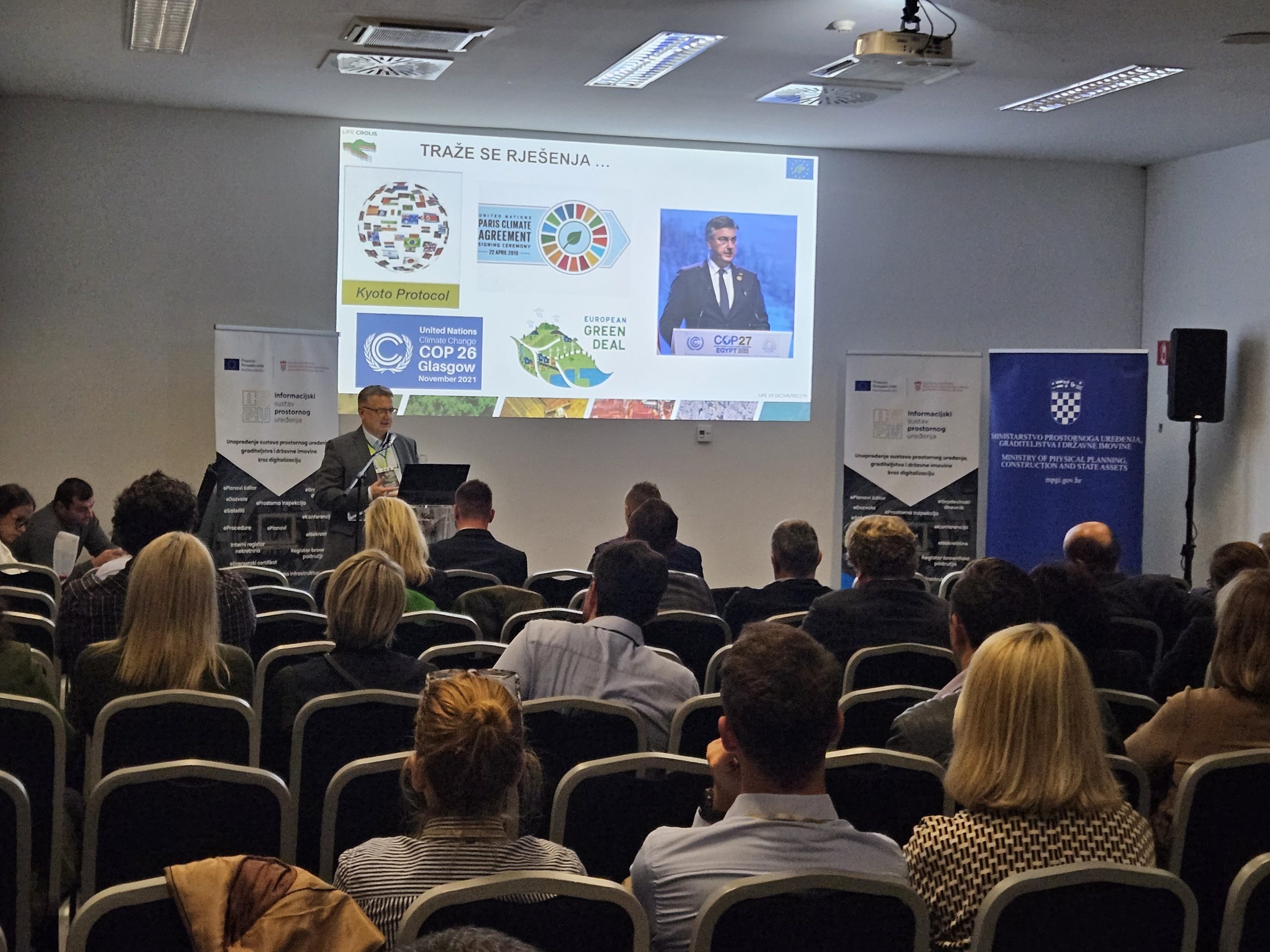
Through the presentation, the reasons and goals of introducing such a system, the basic financial and time frames of project implementation, as well as national and EU legislation, primarily related to the need to mitigate the consequences of climate change, and the obligation to collect explicit spatial data for reporting on greenhouse gas emissions within the LULUCF sector were explained. In order for these goals to be achieved at all, it is necessary to register all agricultural land in the Republic of Croatia through the combined ARKOD and ARKOD+ (plus) data. In addition to records of agricultural data, the task of the Paying Agency is to establish vector data on the use of all land within the Croatian Land Information System, and data that will be collected here from competent institutions, namely: -Croatian forests, water, roads, highways, railways, energy plants, solar and wind power plants, oil and gas fields, distribution network – power lines, gas pipelines, oil pipelines, telecommunications, and data on settlements, sports areas, waste dumps, quarries, etc.
All this data will be continuously collected by the Agency from the institutions and for the purposes of monitoring the resulting changes, they will be consolidated and harmonized with each other, for the needs of further spatial analyzes in the domain of land use and conversion within the LULUCF sector. At the end of the presentation, the guidelines of the methodology that will be used to record data with the application of remote research methods, machine learning with the application of automatic vectorization and classification techniques from available satellite and DOF5 bases are presented.
You can find more information about the conference and its presentations at https://www.ispu-konferencija.info/.
Podjeli ovu novost koristeći: