
13.7.2023.
The 2nd meeting of the LIFE CROLIS project Advisory Board
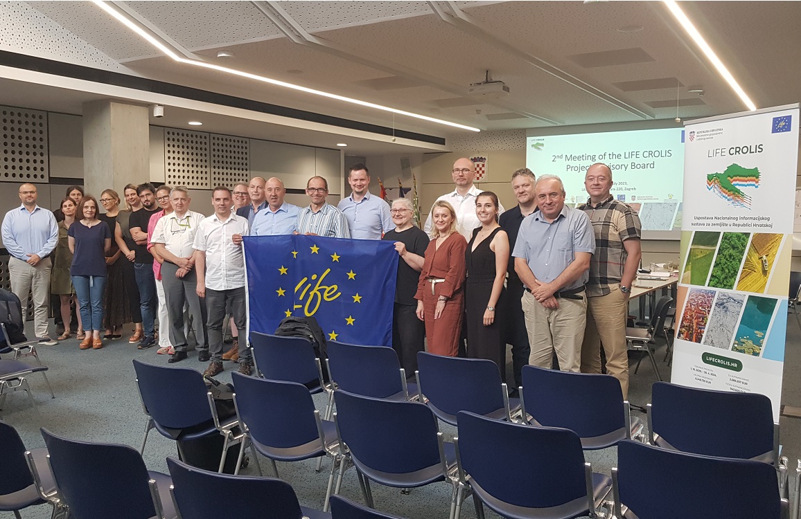
The second two-day meeting of the LIFE CROLIS project Advisory Board was held on 12th and 13th July 2023 in Zagreb. With the participation of experts from the Republic of Austria, the United Kingdom and the Republic of Croatia, the project partners reflected on the activities carried out so far on the project to establish the Croatian Land Information System – CROLIS.
During the first day of the meeting, the previous activities of the partners on the acquiring, editing and interpretation of satellite images and on the processing of spatial data from various sources for the purposes of establishing the CROLIS system were presented. The work on creating basic layers of land use and cover for 2020 and historical data series for 2010 and 2000 is presented in detail.
At the meeting, experts Peter Wiess, Gebhard Banko (Republic of Austria), Geoff Smith (United Kingdom) and Mario Miler (Republic of Croatia) presented their opinions on the progress of the project so far and offered recommendations and solutions for numerous open technical issues.
On the second day of the meeting, representatives of the partner institutions presented their work during the past year, in the period since the first meeting of the Advisory Board. Thus, the experts of the Institute for Environmental and Nature Protection of the Ministry of Economy and Sustainable Development presented their work on defining user requirements and the legal framework related to reporting on GHG, carbon sinks at the national, European and international level, as well as activities on the preparation of the EAGLE Harmonization Key (Action Groups EIONET (European Network for Information and Observation of the Environment) for land monitoring in Europe) nomenclature and other nomenclatures for land use and cover.
In their presentation, the representatives of the Paying Agency for in Agriculture, Rural Development and Fisheries presented the work on designing the CROLIS software and presented the recently launched Pilot Project to support the development of ARKOD+ (plus) and CROLIS initial land use layer.
Representatives of the State Geodetic Administration prepared an analysis of the spatial data received so far from the Ministry of Defense of the Republic of Croatia, obtained on the basis of the Agreement on cooperation in the field of creation and exchange of spatial data, and created within the “Program for the exchange of TanDEM-X high-resolution elevation data”.
The experts of Croatian Forests presented their work on the preparation of spatial data on forests, and they also touched on the cooperation with the Agency for Payments in Agriculture, Rural Development and Fisheries on solving overlapping spatial data and spatial correctness of data.
Through a series of presentations, the members of the Advisory Board introduced the project partners in more detail to the work of the European Commission on land monitoring and presented the current capacities of the European Union in remote monitoring of land, climate and environment, highlighting some of the most significant developments in the field of remote monitoring of land cover conditions and use land like the work of the EAGLE group. They also presented new satellite programs and missions of the European Space Agency important for land monitoring, whose full functionality is expected in the near future.
The second meeting of the Advisory Board of the LIFE CROLIS project was concluded with a discussion and recommendations for the implementation of the upcoming project activities.
Share this news: